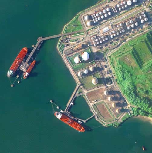
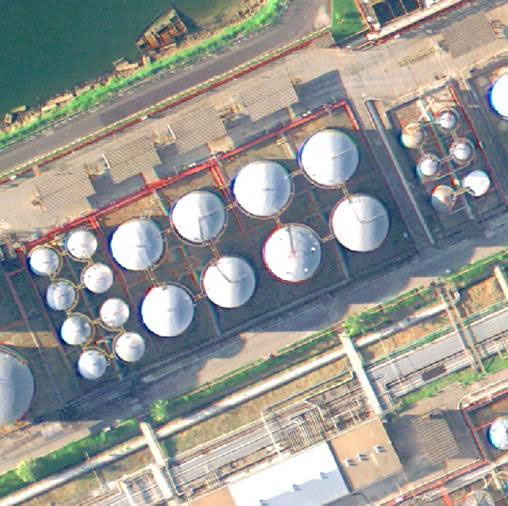
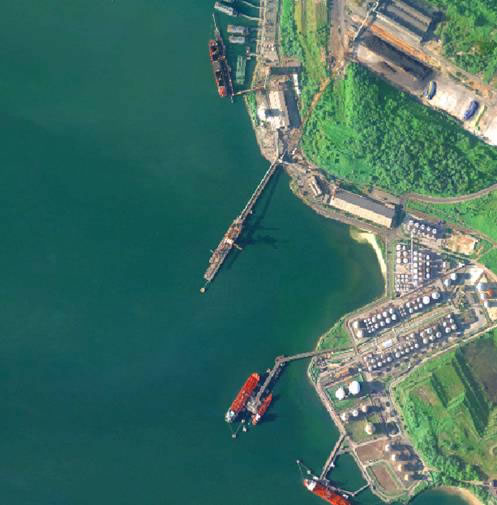
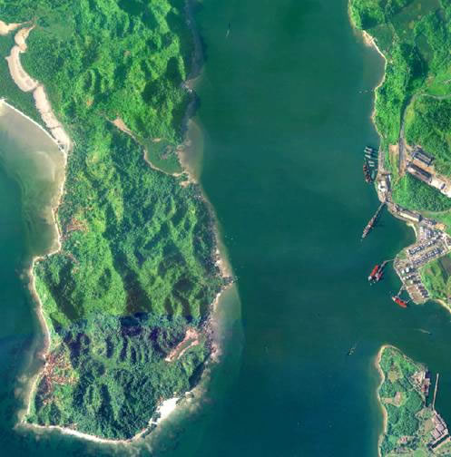
Photogrammetry is the practice of determining the geometric properties of objects from photographic images, carried out for the mapping. An aircraft equipped with photographic metric cameras overflies the terrain following up some technical precepts such as: maximum angle of camber, front overlap between the photographs, side overlap, among others.
Photogrammetry is the science that allows to perform accurate measurements using metric photographs. Although it has a wide range of applications in most different fields and branches of science, like surveying, astronomy, medicine, meteorology and many others, the main field of application is the topographic mapping.
The purpose is to determine the shape, dimension and position of objects within a photograph, using measurements taken on it.
Fototerra conducts aerial photogrammetric services, offering to its clients the most modern services, starting from image acquisition stage up to photogrammetric registration and geotechnical studies.
Fototerra was the first Latin American company to operate aerial photographs using a digital sensor, the camera HRSC-AX, yielding products in 1:2,000 scale without any need of films. The excellent quality of the products resulted in a significant reduction of project time and costs.
 |
 |
 |
 |


© 2017 Fototerra Aerial Survey LLC

