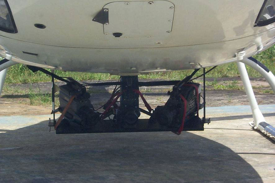
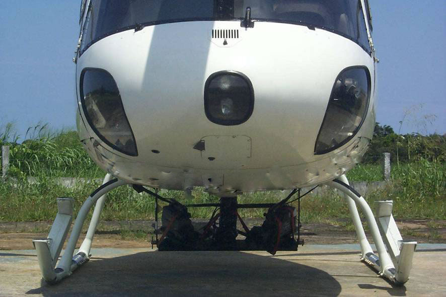
AirFilm uses a in-house developed technology to combine the dynamics of an actual film with the ease of localization of GPS (Global Positioning System). The system uses the AirFilm digital filming techniques to include in real-time the geographical coordinates of the filmed point of interest.
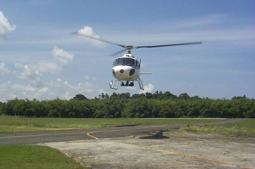
The AirFilm is ideal for environmental assessments, visual documentation, geographical surveys and inspections, vegetation mapping, monitoring and evaluation of contingencies, time analysis, geotechnical analysis, transmission lines, pipelines, roads and railways.
The advantages of this technology are the speed and low cost process coupled with great fidelity the reality of the field and geographical location.
 |
 |
 |


© 2017 Fototerra Aerial Survey LLC

