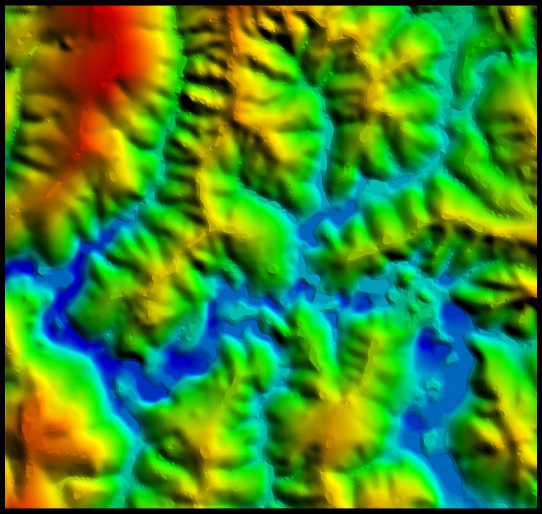
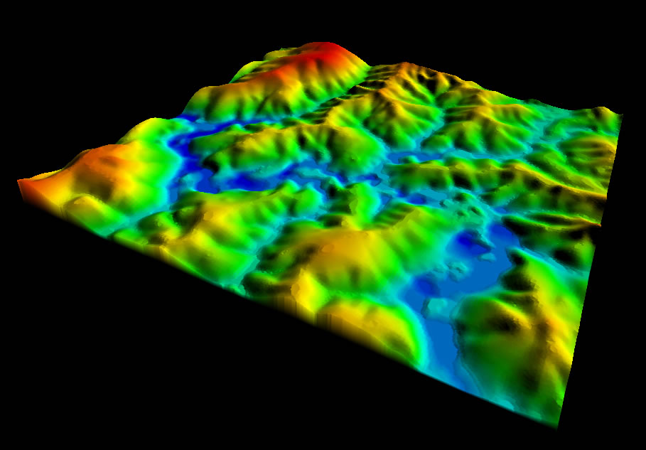
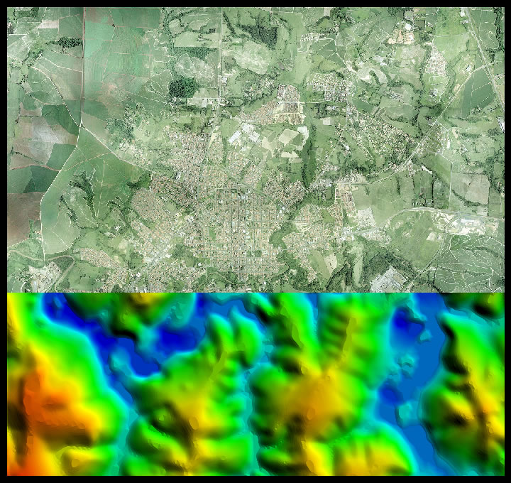
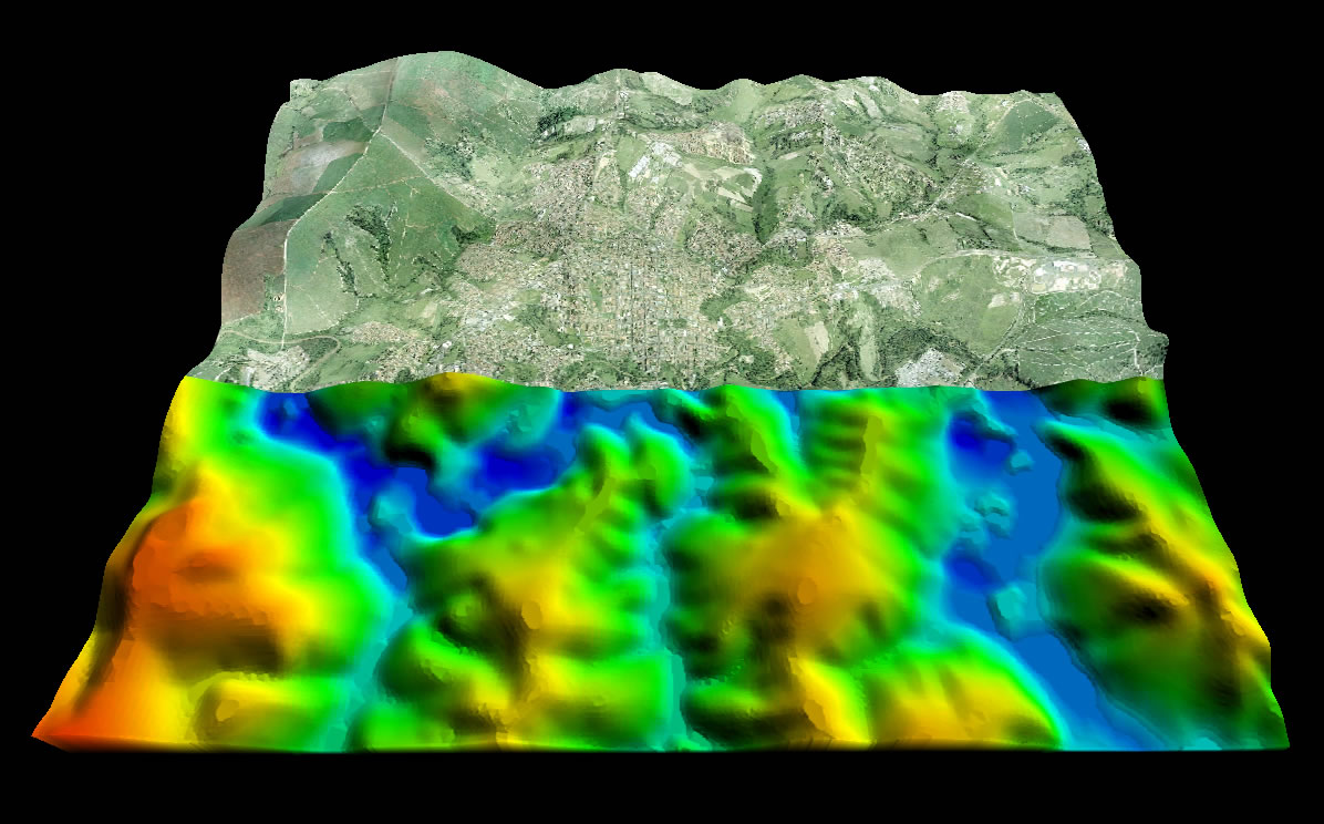
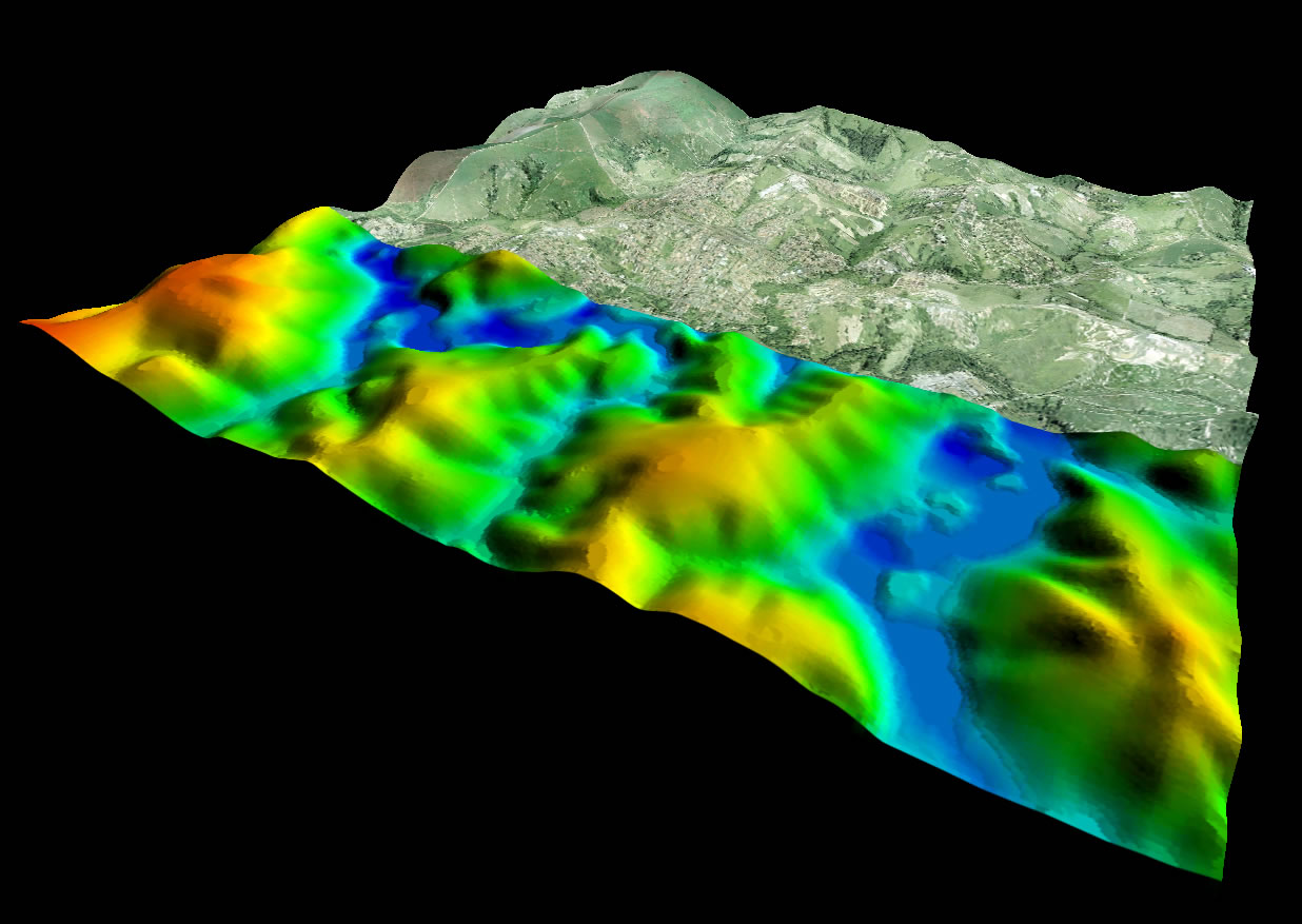
The DEM or Digital Terrain Model is the topographic representation of the surface in which all interferences of vegetation (trees) and anthropomorphic structures were eliminated (buildings, houses, monuments, people and animals).
 |
 |
 |
 |
 |


© 2017 Fototerra Aerial Survey LLC

