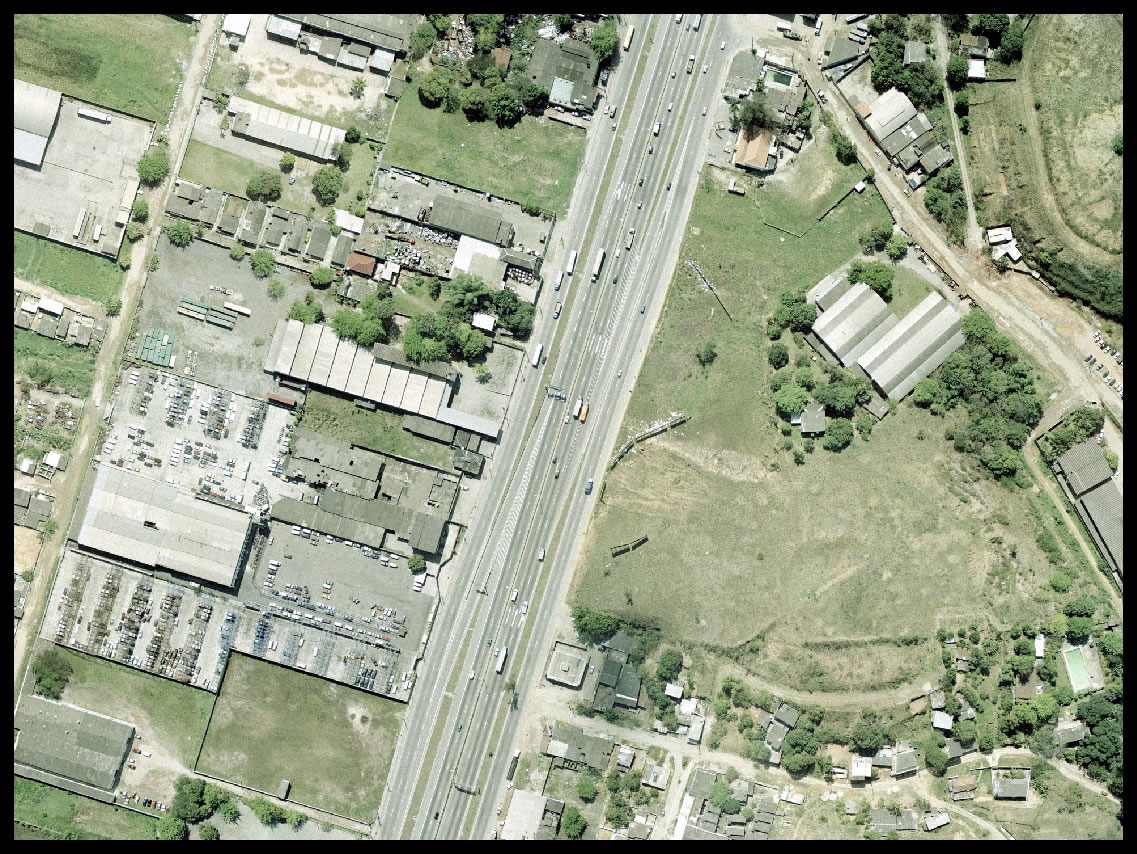
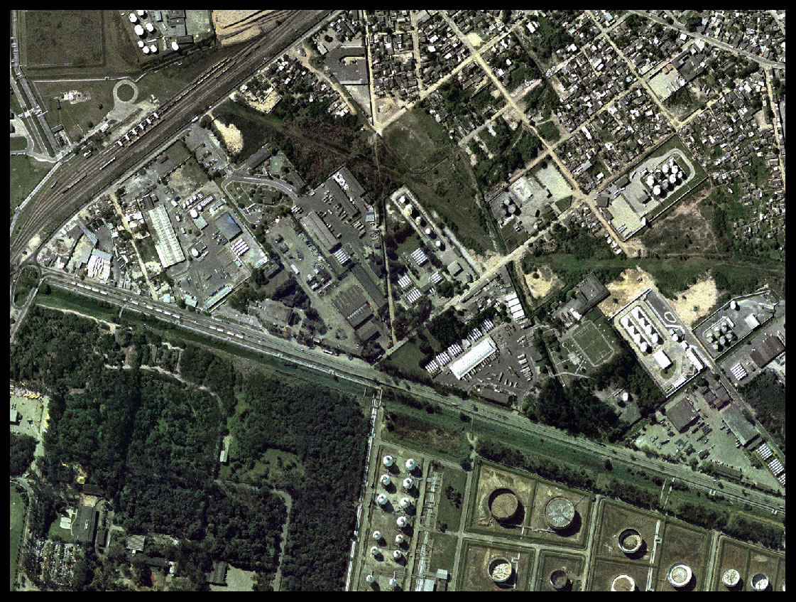
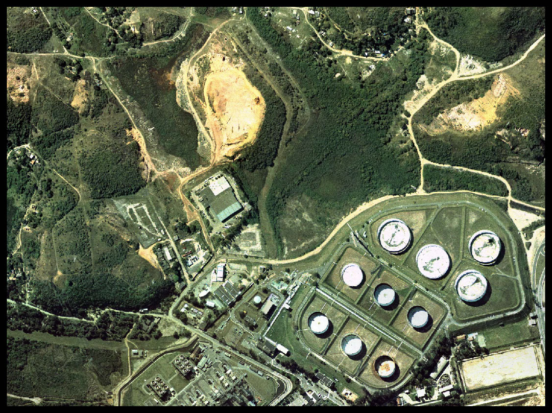
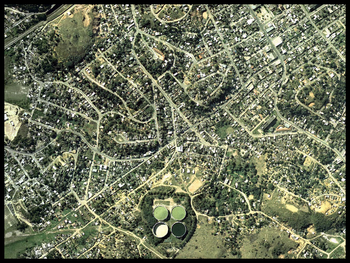
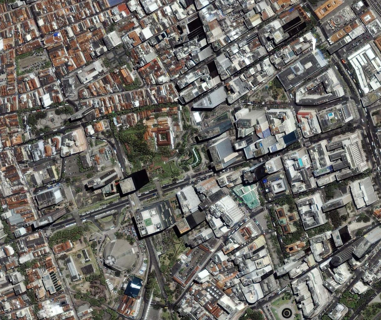
Orthofotos or Orthoimage is an aerial photograph in which displacements caused by aircraft movements and relief were geometrically corrected. The planimetry is represented directly by the image which can be used to measure true distances. , on which is drawn altimetric information.
 |
 |
 |
 |
 |
 |
 |
 |
 |


© 2017 Fototerra Aerial Survey LLC

